
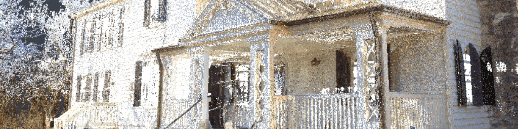
In the spring of 2022, I participated in scanning a historic property at UVA called Sunnyside. This house was investigated as part of that semester’s Field Methods in Architectural History, which allowed us significant insight into the history of the site. I was personally responsible for scanning a significant portion of the grounds, as well as finalizing the registration of the exterior before it was combined with the point cloud data of the interior.
The exterior data was easy to separate into three separate sections which we could divide amongst our team, allowing all of us to work on registration at the same time. However, when I began to combine these areas together, the divisions which had seemed so natural and obvious proved to make combining everything difficult. By adjusting which scans were in which clusters I eventually managed to bring everything together, but it was a much greater challenge than initially anticipated.
For a comprehensive overview of the Sunnyside project, visit https://storymaps.arcgis.com/stories/2c1d68799f9a4728a3378bc3de63d9c3. This Storymap was created as a group effort from the whole team and more thoroughly describes the entire process.

Leave a comment